Portfolio

Research projects.

Selected research projects spanning multimodal transformers, anomaly detection and computer vision for planetary science.

4

Research projects

1

Published journal article

2

In progress

1

Open-source package


All projects
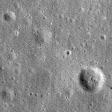
Grayscale lunar surface imagery of the kind the vision-language model interprets
New · arXiv preprint Vision-Language Model Planetary Science 2026

Verifiably grounded machine interpretation of lunar geology

My multimodal lunar work meets language: a vision-language model that automates the interpretive workflow of planetary geology, generating verifiably grounded readings of lunar mare stratigraphy directly from co-registered topographic, spectral and geologic maps.

Key findings

  • Grounded interpretation: the model balances established geological priors with local visual evidence to accurately describe stratigraphy and terrain.
  • Vision has limits: numeric age dating derived solely from vision defaults to memorized priors instead of the evidence in the maps.
  • Open-book retrieval resolves it: with retrieval the model faithfully cites published chronologies — site evidence from local data, quantitative history from the scientific record.
Sander, Wohlfarth, Wöhler · arXiv:2608.09276 · Aug 2026
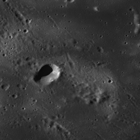
A lunar swirl site imaged in optical reflectance, the input to the multimodal probing model
Under review Planetary Science Model Probing Multimodal Learning 2026

Probing Lunar Swirls with a Multimodal Transformer

Lunar swirls are bright, sinuous markings with no topographic expression and an unsettled origin. A masked-autoencoder transformer fuses twelve remote-sensing modalities across 56 swirl sites, then is probed — rather than just run — to test which formation hypothesis the data actually supports.

Key findings

  • Maturation-retardation wins: enhanced optical–compositional coupling inside swirls matches the maturation-retardation hypothesis, not impact or dust-transport scenarios.
  • Probing, not predicting: Leave-One-Out, Leave-One-In, attention and representational-similarity analyses isolate which signals genuinely drive swirl reflectance.
  • One model, twelve modalities: optical, radar, elemental, spectral and thermal maps reconstructed in a shared latent space at 300 pixels per degree.
Under review · Computers & Geosciences · 2026
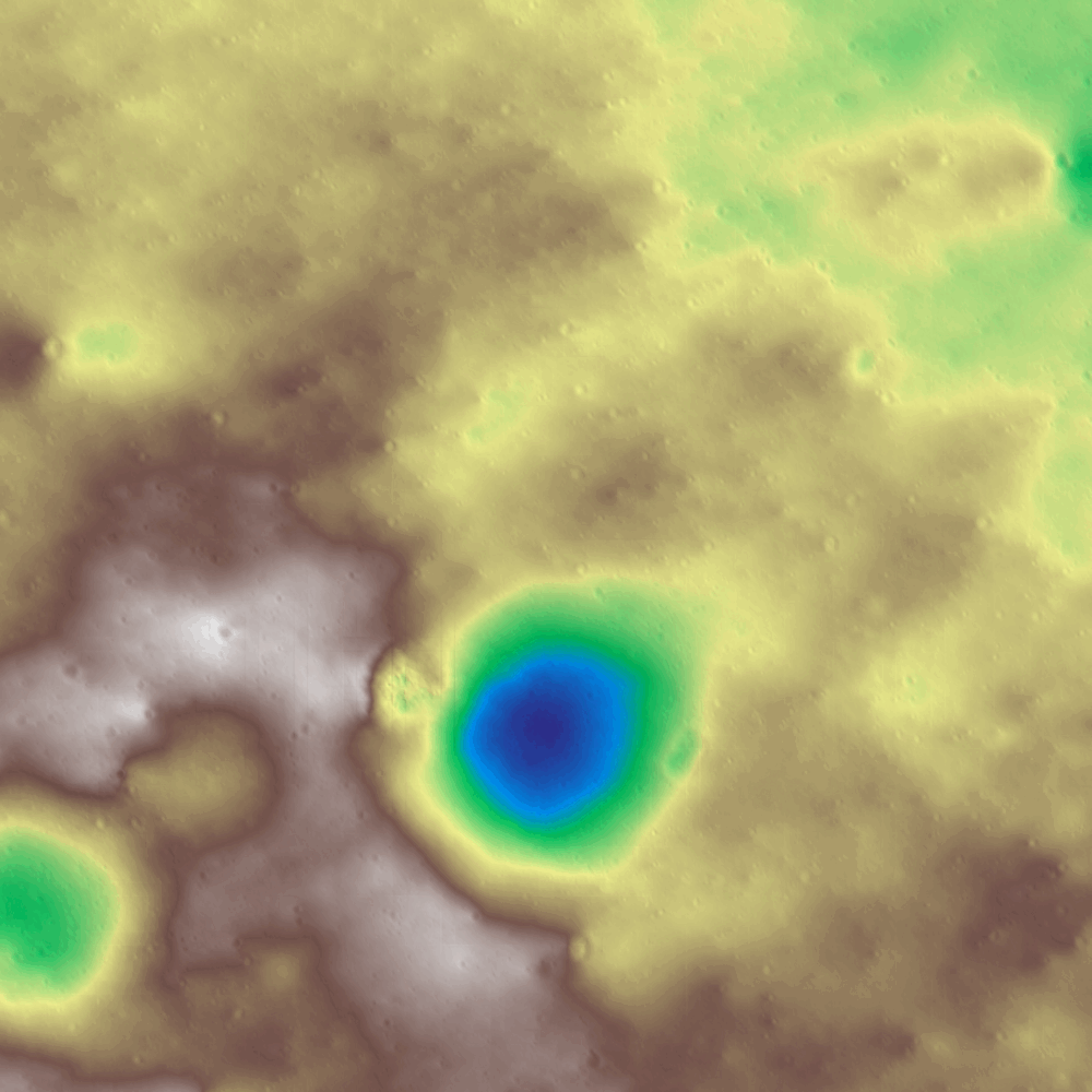
Colorized digital elevation model of the Apollo 11 area reconstructed by the multimodal transformer
Planetary Science Deep Learning Image Synthesis 2025

Multimodal Image Transformation Transformer for the Lunar Surface

The lunar surface is observed through many instruments — reflectance, albedo, thermal emission, topography, slope — but rarely all at once for a given region. A single unified transformer translates any available modality (or combination) into any target modality, enabling virtual data synthesis where coverage is missing.

Key contributions

  • Any-to-any generation: a single model handles all pairwise and multi-source-to-target translation tasks across heterogeneous lunar modalities.
  • Geophysically plausible: generated outputs are evaluated for physical consistency with real observations, not just perceptual quality.
  • Built on LRO data: trained on aligned multi-modal datasets derived from LROC WAC, LOLA, Diviner and more.
ISPRS Journal of Photogrammetry and Remote Sensing · 2026
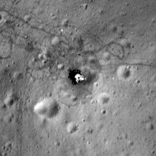
Lunar surface imagery used to benchmark anomaly detection near the Apollo landing sites
Planetary Science Deep Learning Anomaly Detection 2025

Lunar Technosignatures: A Deep Learning Approach to Detecting Apollo Landing Sites

Finding anomalies on the lunar surface usually means slow, biased manual inspection by domain experts. This work automates the search for technosignatures, using the confirmed Apollo landing sites as ground truth to benchmark three state-of-the-art deep-learning detectors on LRO Narrow-Angle Camera data.

Key contributions

  • Transformers win: the transformer-based AnoViT outperforms the convolutional approaches (EfficientAD, Cut&Paste) in precision, producing cleaner global anomaly maps.
  • Grounded benchmark: the highly localized Apollo 15 and Apollo 17 landing sites replace subjective interpretation with empirical ground truth.
  • Fully open: all code, evaluation metrics and pre-trained models are publicly accessible to push future lunar research.
VISIGRAPP 2025 View project

Open source

Software

Tools I build and maintain — engineered for reuse, not just for a paper.

AstroFetch — planetary datasets for PyTorch
Open source Python PyTorch Apache 2.0

AstroFetch — planetary datasets for PyTorch

ML-ready access to planetary science data, starting with the Moon: request a bounding box, receive a coregistered multichannel tensor. Roughly what TorchGeo is for Earth observation — pointed at the Moon, with Mars next.

How it works

  • Archives, not mirrors: a thin layer over the USGS Astrogeology STAC catalog and Cloud Optimized GeoTIFFs — nothing rehosted, everything fetched on demand and cached.
  • Composable instruments: one dataset class per instrument; combine them with & to stack channels over the overlapping region, reprojected onto a common grid in physical units.
  • Native PyTorch: map-style datasets with reproducible random patches, validity masks for nodata gaps, and plain-dict samples that drop straight into a DataLoader.
import astrofetch as af

bbox = (-26.3, -50.6, -25.5, -49.7)  # west, south, east, north
dtm  = af.KaguyaTC(products=["dtm"], bbox=bbox, resolution=100)
img  = af.KaguyaTCImagery(bbox=bbox, resolution=100)

moon = dtm & img  # stack channels over the overlapping region
moon[0]["image"]  # torch.Tensor (C, H, W) — one channel per layer
Phase 1: STAC sampler live · PyPI release coming soon Code on GitHub

Off the clock

Field log

Sometimes the sky does the science for you; you just have to point a camera at it.

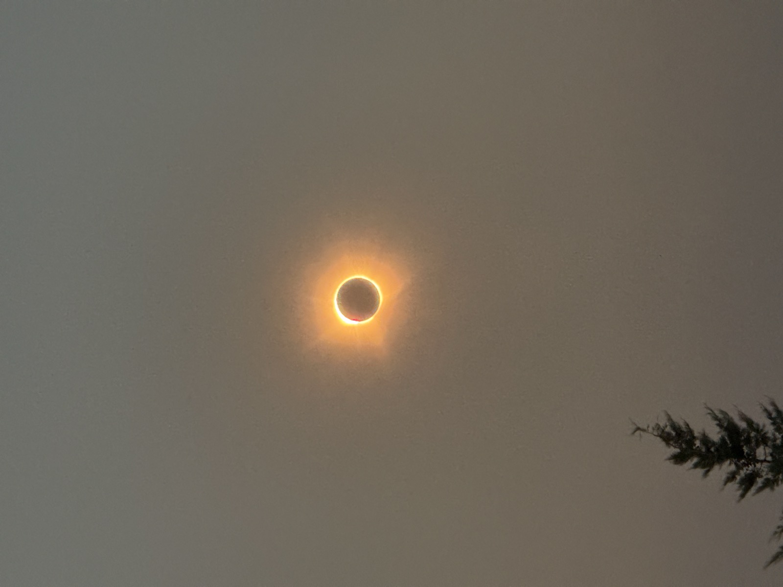
Totality: the solar corona around the Moon's black disk above a poplar silhouette, Burgos 2026
Photography Total Solar Eclipse Burgos, Spain 2026

Totality over Burgos

On 12 August 2026 the Moon covered the Sun completely for 1 minute and 47 seconds, eight degrees above a smoke-hazed Spanish horizon. Eighteen frames from first contact to sunset, presented as an interactive timeline, with the eclipse geometry fitted to the contact times and a light curve read out of the camera's own EXIF data.

On the page

  • Scrub the eclipse: a timeline from first contact to sunset, with obscuration and Sun position computed live.
  • Real geometry: a two-circle occultation model fitted to Burgos' three contact times, reaching peak magnitude 1.008.
  • The camera as photometer: a light curve of the evening computed from each frame's shutter and ISO metadata.
12 Aug 2026 · 42.35° N, 3.71° W · 948 m View the story